


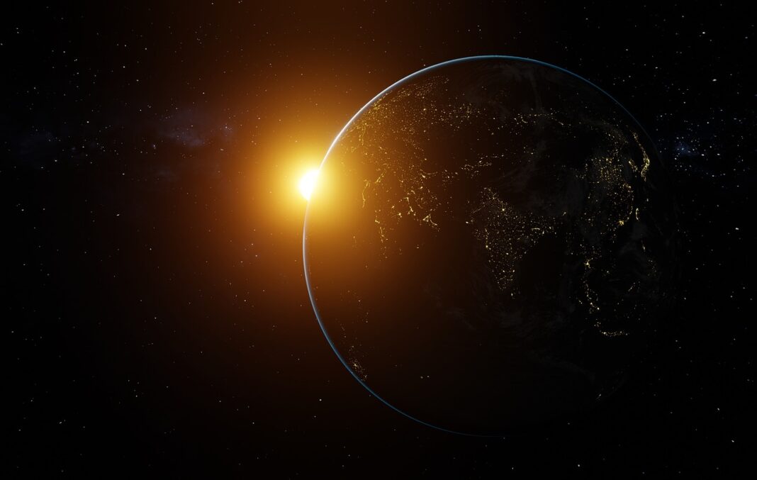

Planet Earth in space starts with a simple but important view
Planet Earth space science starts with perspective. From orbit, Earth appears as a rocky ocean world wrapped in a thin atmosphere, partly protected by a magnetic field and powered by the Sun. The view is more than scenic. Satellites measure weather systems, sea level, ice, land cover, fires, clouds, pollution and temperature patterns that cannot be understood from a single point on the ground. NASA describes Earth as a terrestrial planet about one astronomical unit from the Sun, while NOAA and other agencies use space-based instruments to monitor how the planet changes over time.
For readers following Space Science, Earth observation is not separate from space exploration. It is one of space science’s most direct links to daily life, public safety and long-term environmental planning.
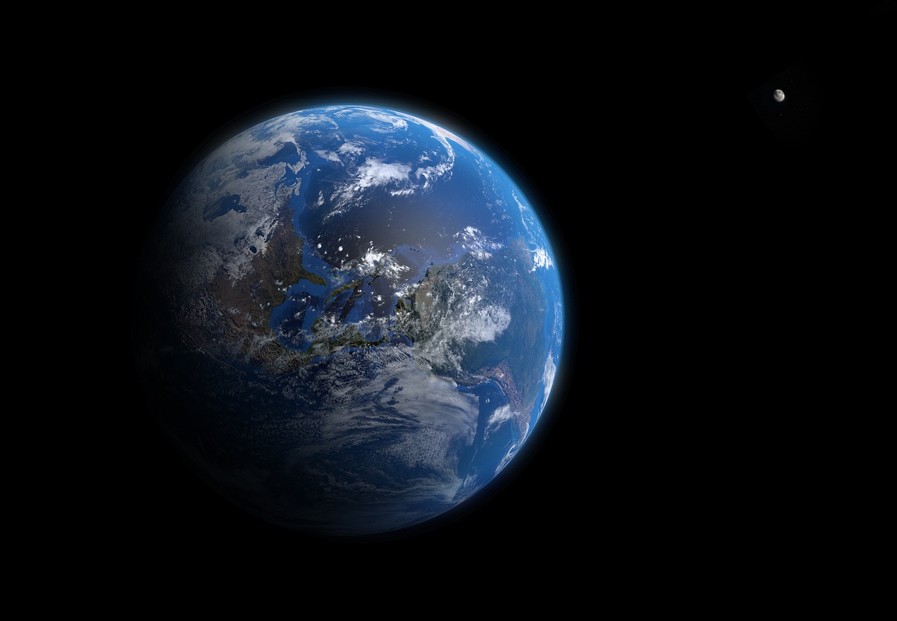
What makes Earth distinctive when seen from space
Earth is the third planet from the Sun and the only planet known to support life. NASA’s public Earth facts identify it as a rocky, terrestrial planet with one Moon, a diameter of about 12,742 kilometers and an average distance from the Sun of about 150 million kilometers. Those figures matter because Earth’s orbit, rotation and size help shape the conditions behind climate, seasons and habitability.
The most obvious feature from space is water. Oceans cover most of the surface, giving Earth its blue appearance and storing vast amounts of heat. Water also moves through the atmosphere, land, ice and oceans in a cycle that influences rainfall, drought, snowpack and storms. Satellites help observe many parts of that cycle, including clouds, water vapor, precipitation, soil moisture, ice sheets and ocean height.
Earth’s atmosphere is another defining feature. NASA explains that the atmosphere is mostly nitrogen and oxygen, with smaller amounts of argon, carbon dioxide, water vapor and other gases. It moderates temperature, enables weather, shields the surface from many small meteoroids and helps protect life from harmful radiation. From space, the atmosphere appears as a thin rim, a useful reminder that the layer supporting life is physically shallow compared with the size of the planet.
Earth also has a magnetic field generated by processes deep inside the planet. This field helps deflect charged particles from the Sun and shapes the near-Earth space environment. It does not make Earth immune to space weather, but it is part of the natural shielding that helps make the surface more stable than it would be without it.
How satellites turn a global view into usable data
A satellite does not simply take a picture and send it home. Different missions carry specialized instruments that measure reflected sunlight, emitted heat, microwave signals, radar returns, atmospheric chemistry, gravity changes or surface height. Scientists calibrate those measurements, compare them with ground and ocean observations, and turn them into data products used by forecasters, researchers, emergency managers and planners.
Earth observation works because no single instrument can measure everything. Weather satellites need frequent coverage. Land satellites need enough spatial detail to detect changes in fields and forests. Ocean missions need precise height measurements to track sea level and currents. The result is a layered observing system rather than one all-purpose spacecraft.
| Observation type | What it helps measure | Why it matters |
|---|---|---|
| Visible and infrared imaging | Clouds, land cover, fires, vegetation and surface temperature | Supports weather forecasting, agriculture, wildfire monitoring and land management |
| Radar | Surface shape, floods, ice, land movement and some observations through clouds | Useful in storms, darkness and regions where optical imagery is limited |
| Altimetry | Sea surface height, wave height and ice-sheet elevation | Supports oceanography, sea-level studies and coastal risk analysis |
| Atmospheric sensors | Water vapor, ozone, aerosols and trace gases | Improves understanding of air quality, climate processes and radiation balance |
| Gravity missions | Mass changes in ice sheets, groundwater and oceans | Reveals changes that are not visible in ordinary imagery |
This mix of instruments is why space agencies often describe Earth as a system. Oceans, atmosphere, ice, land, ecosystems and human activity interact. A heat wave can affect soil moisture and wildfire risk; ocean temperatures can influence hurricanes; melting ice can affect sea level. Satellites help connect those processes across regions and time.
The main satellite programs watching Earth
Several major programs form the backbone of modern Earth observation. NASA’s Earth science missions study the planet’s interconnected systems, including precipitation, ocean biology, aerosols, land surfaces, ice and atmospheric chemistry. Its Terra mission, launched in December 1999, was designed as a flagship Earth Observing System mission, while newer missions continue to refine measurements of oceans, clouds, air pollution and surface change.
Landsat is one of the most important long-term examples. Managed jointly by NASA and the U.S. Geological Survey, the Landsat program has provided consistent observations of Earth’s surface since 1972. That record allows researchers to compare today’s land cover with past decades, making it valuable for tracking urban growth, forest change, agriculture, water use and recovery after disasters.
NOAA’s geostationary weather satellites provide another type of space-based value. GOES satellites orbit with a period matching Earth’s rotation, allowing them to monitor the same broad region continuously from about 35,800 kilometers above the equator. NOAA uses these satellites to track storms, clouds, lightning, hurricanes, snow cover and other fast-changing weather and environmental conditions.
Europe’s Copernicus program, supported by the European Union, ESA and partners, adds a large international contribution. Its Sentinel missions observe land, oceans, atmosphere, sea level and ice, with data used for environmental monitoring and civil security services. ESA’s 2026 mission catalog shows how broad the field has become, from radar and optical land missions to ocean, atmospheric and climate-focused spacecraft.
The practical lesson is that no country or agency sees the whole picture alone. Earth science depends on shared standards, open data, interagency partnerships and continuity over decades. A short-lived satellite can produce useful snapshots, but long-term records are what allow scientists to detect trends.
What space observations reveal about a changing planet
Satellites do not create climate trends; they help measure them. They also do not replace ground stations, ships, aircraft, buoys or field campaigns. The strongest conclusions often come from multiple observing systems that point in the same direction.
One major example is global temperature. NASA and NOAA both reported on January 10, 2025, that 2024 was the warmest year in their respective global temperature records. NOAA said the 2024 average land and ocean surface temperature was 1.29 degrees Celsius above the 20th-century average in its 1850–2024 record. NASA’s analysis placed 2024 at 1.28 degrees Celsius above its 1951–1980 baseline and about 1.47 degrees Celsius above the 1850–1900 average. The baselines differ, but the finding is consistent in direction.
Sea level is another area where space measurements matter. Satellite altimeters can measure the height of the ocean surface across nearly the entire globe, helping scientists track long-term rise as well as regional differences linked to currents, winds, temperature and gravity. This matters because coastal risk is not uniform: a global average does not tell a port city, island community or river delta everything it needs to know. See also: AI.
Ice and snow are also watched from orbit. Satellites monitor changes in sea ice extent, ice sheet elevation, glacier movement and snow cover. Those measurements help scientists assess freshwater storage, albedo changes and contributions to sea-level rise. They also improve seasonal water planning in regions that depend on snowpack.
Land observations show how human and natural systems overlap. A single Landsat or Sentinel image can reveal burn scars, reservoir levels, crop conditions or urban expansion. A decades-long archive can show whether those patterns are temporary, seasonal or part of a lasting shift. In that sense, Earth observation is more than imagery; it is a record of decision-relevant change.
Why the view from space has limits
Space-based data are powerful, but they are not magic. Clouds can block optical sensors. Some measurements require complex corrections for atmosphere, viewing angle, sensor aging or orbital drift. High-resolution imagery may cover smaller areas or be collected less often, while broad global coverage may sacrifice detail. Radar can see through clouds in many cases, but its signals require specialized interpretation.
There is also a difference between observation and explanation. A satellite can detect a flood, a warming ocean surface, a shrinking reservoir or a plume of smoke. Explaining why it happened may require weather models, field surveys, historical records and local knowledge. Responsible reporting should avoid treating every satellite image as self-explanatory evidence.
Continuity is another limitation. Long-term trends depend on missions that overlap and are carefully calibrated. If a sensor fails or a replacement is delayed, the data record can become harder to interpret. That is why agencies plan follow-on missions years in advance and why international cooperation matters. The value of Earth observation increases when today’s measurements can be compared confidently with those from 10, 30 or 50 years ago.
A short timeline of Earth observation from space
| Period | Milestone | Information value |
|---|---|---|
| 1960s | Early weather satellites proved that orbit could support daily forecasting | Established the practical role of space in public weather services |
| 1972 | The Landsat era began | Created a long-running record of land surface change |
| 1999 | NASA launched Terra as a flagship Earth Observing System mission | Advanced integrated measurements of land, atmosphere and energy balance |
| 2010s | Copernicus Sentinel missions expanded operational Earth observation in Europe | Improved open access to land, ocean, atmosphere and climate data |
| 2020s | New missions added stronger ocean, air quality, precipitation and ecosystem observations | Shifted Earth observation toward faster, more detailed and more integrated monitoring |
The timeline shows the real information gain: not simply better pictures, but longer, more comparable and more specialized records. That is what allows space science to move from “what does Earth look like?” to “how is Earth changing, where, how fast and with what consequences?”
Why planet Earth in space matters for daily life
The value of observing Earth from space is easy to underestimate because the data often arrive indirectly. A hurricane forecast, wildfire smoke map, drought outlook, crop condition report or coastal flood assessment may all depend partly on satellite observations. The end user may never see the spacecraft, but the spacecraft helps shape the decision.
For governments, satellite data support disaster response, infrastructure planning, climate assessment and resource management. For scientists, they provide a planetary-scale laboratory. For the public, they offer a clearer understanding of how local events fit into larger patterns. A storm is local when it hits a town, but it forms within a global atmosphere. A drought affects one region, but it can be connected to ocean temperatures, circulation patterns and land-surface feedbacks.
Seeing Earth from space also changes how space exploration is understood. Missions to Mars, the Moon and outer planets help compare worlds, but Earth remains the reference point for habitability. Its liquid water, atmosphere, magnetic environment and active geology make it a special case in the solar system. Studying Earth carefully helps scientists recognize what is ordinary, what is rare and what conditions may matter most when evaluating other planets.
Frequently asked questions
Why do space agencies study Earth?
Space agencies study Earth because orbit provides a global, repeatable view of the planet. Satellites can observe oceans, storms, ice, forests, cities and atmospheric patterns across borders and remote regions that would be difficult to monitor only from the ground.
Is Earth the only planet with water?
No. Water exists in different forms elsewhere in the solar system, including ice on moons and planets. What makes Earth distinctive is the stability and abundance of liquid water on its surface, which is central to known life and to the planet’s climate system.
Do satellites measure climate change directly?
Satellites measure many variables related to climate change, including temperature patterns, sea level, ice, clouds, vegetation, atmospheric gases and ocean conditions. Climate conclusions usually combine satellite records with surface stations, ocean measurements, models and historical data.
Are satellite images enough to explain environmental events?
No. Satellite images are evidence, but interpretation often requires context. A flood, fire scar or low reservoir can be detected from space, but explaining causes and impacts may require weather data, field reports, local records and expert analysis.
Why are long satellite records important?
Long records allow scientists to separate short-term variability from longer-term change. A single image can show what happened on one day; a multi-decade record can show whether a landscape, ocean or ice system is shifting over time.