



Why Does Earth & Space Matter More Than You Think?
When you follow earth & space news, you are not only reading about rockets, planets, and telescope photos. You are reading about the systems behind your phone signal, storm warning, food supply, airline route, and long-term climate risk. The subject can look large from the outside, and it is. The day-to-day link is still easy to see: space gives people a steady view of Earth from above, while Earth gives scientists the best known example of a living planet.
Daily Signals From Orbit
Every time you use maps, check a delivery route, or depend on a timestamped bank transfer, satellites are working in the background. Navigation satellites help receivers compare signals and work out position. Weather satellites check clouds, heat, and storm movement. Communication satellites move data across oceans and remote areas, so you may not see the spacecraft, but the service reaches your pocket.
Climate Records Above Clouds
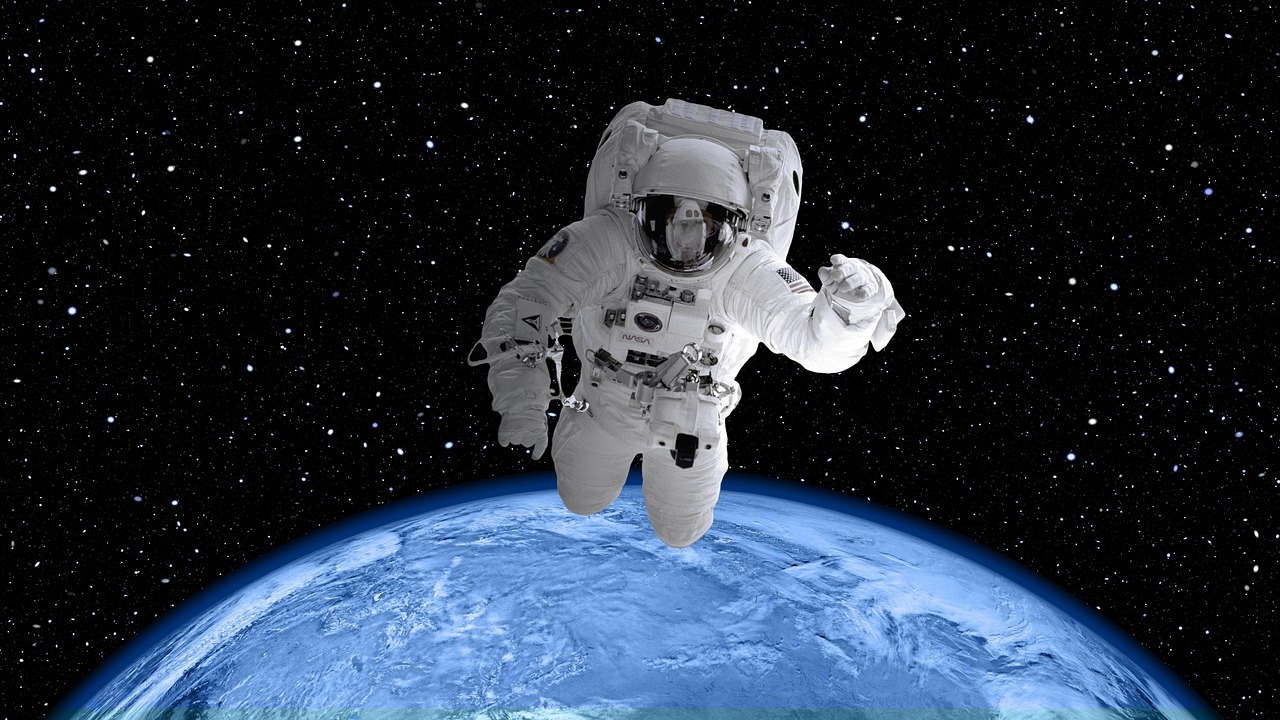
Space also gives climate science something one ground station cannot provide: wide coverage. NASA’s Earth science mission list, updated in 2026, describes satellites that study land, oceans, atmosphere, energy, water, aerosols, and hazards as parts of one planet system. This matters because drought, wildfire smoke, ocean heat, and sea level do not stop at borders. A satellite pass can connect those points in one repeatable record. (science.nasa.gov)
A Wider Planetary View
Earth is easier to understand when you compare it with the Moon, Mars, Venus, and planets around other stars. That comparison gives scale. A thin atmosphere, a magnetic field, liquid water, plate movement, and a stable orbit are not just textbook notes. They are the basic conditions that let cities, forests, farms, and oceans exist in the way people know them.
How Do Satellites Turn Space Into Practical Earth Data?
Satellites do not replace field work, local weather stations, ocean buoys, or aircraft surveys. They add reach. A farmer, port manager, wildfire crew, or city planner still needs local detail, but the first useful signal often comes from above. This is where space science becomes a practical news beat, not only a science beat.
Weather Warnings Before Landfall
Storm tracking is one of the easiest cases to explain. Satellites watch cloud tops, water vapor, surface temperature, lightning, and storm structure before a hurricane reaches land. That background helps forecasters narrow risk zones, update evacuation timing, and explain why a storm may grow stronger over warm water. The point is simple: earlier eyes in space can give people more time on the ground.
Crops, Fires, and Flood Maps
Earth observation also helps with slower disasters. A dry season may first appear as weak vegetation signals, while a flood may leave standing water where roads were visible before. A fire scar can be mapped after smoke clears, and that map can help crews and local offices plan the next step. NASA notes that the Terra satellite, long past its original era, still produces climate and disaster-related data products from its five sensors, with uses that include food security, wildfire safety, volcanic monitoring, public health, and climate modeling. (terra.nasa.gov)
GPS Timing in Plain Life
Positioning gets most of the attention, but timing is just as important. Power networks, phone towers, stock trades, and logistics systems depend on clocks that stay in sync. Satellites carry very stable clocks, and receivers use those signals to keep systems aligned. People usually notice this only when something fails, because a city traffic system running on bad timing does not look like a space issue at first glance, even though space is part of the fix.
What Does Space Weather Do to Your Technology?
Space weather sounds soft, but it is a physical risk. The Sun sends radiation, charged particles, and magnetic disturbances into space. On most days, Earth’s magnetic field and atmosphere handle it without much noise. During strong events, the same solar activity can affect radio signals, satellite operations, navigation accuracy, and power systems.
Solar Storms and Magnetic Fields
The background is the Sun’s active surface. Flares and coronal mass ejections can send energy toward Earth. In March 2024, NOAA reported that GOES satellites and international partners observed many solar flares, including a powerful X-class flare, during a severe solar storm. The data showed why steady monitoring matters: the storm environment can change fast, and decisions need more than skywatching from the ground. (nesdis.noaa.gov)
Power Grids and Radio Blackouts
NOAA’s 2024 storm report also noted that geomagnetic storms can affect power grids, radio signals, and communications systems, with power grid irregularities reported in Canada during that event. This does not mean every solar storm becomes a crisis. It means modern infrastructure has exposure to space conditions. Grid operators, airlines, satellite companies, and emergency managers need warnings that are clear enough to use in real operations.
Better Forecasts From L1
Many space weather missions watch from a region near the Sun-Earth line, often discussed around the L1 point. From there, instruments can sample solar wind before it reaches Earth. NASA’s Space Weather Follow On program is described as an operational satellite effort meant to study space weather and help safeguard society. Better warning does not stop the Sun, but it gives operators time to switch modes, reroute, delay, or watch critical equipment more closely. (science.nasa.gov)
Why Is Earth Observation Changing Climate News?
Climate reporting can get messy. One hot summer, one wet month, or one cold snap may feel convincing at the time. Good climate coverage needs long records and clear sources. Satellites help because they give repeated measurements over oceans, ice, forests, and remote regions that are hard to sample by foot, ship, or aircraft alone.
Carbon Dioxide at 431 ppm
NASA’s Earth Indicator page reported atmospheric carbon dioxide at 431 parts per million for June 2026. The basic point is simple: carbon dioxide traps heat, and the modern rise comes mainly from fossil fuel burning, with added natural and human-linked sources such as wildfires and volcanic activity. This data point is a snapshot, not the full story. It still shows that today’s atmosphere carries much more heat-trapping gas than it did before modern industrial growth. (science.nasa.gov)
Sea Level Rise Seen From Space
NASA’s sea level indicator reported a July 2026 measurement of 102.4 millimeters, plus or minus 4.0 millimeters, above the 1993 satellite record baseline. NASA also states that satellite measurements show global sea level has risen around 3.6 inches, or 91 millimeters, since 1993. The main causes are melting land ice and warming ocean water. For coastal planning, the result is direct: flooding risk now starts from a higher base than it did a generation ago. (science.nasa.gov)
2025 Heat in Context
NOAA’s National Centers for Environmental Information reported that 2025 ranked as the third-warmest year in its global record back to 1850, with annual global surface temperature 1.17 degrees Celsius above the 20th-century average. NOAA placed it behind 2024 and 2023. That ranking helps readers avoid cherry-picking one season or one region. A single year matters less than the pattern, and the latest pattern is still near the top of the record. (ncei.noaa.gov) See also: AI.
Is Earth Orbit Becoming Too Crowded?
The orbital highway around Earth is getting busy. More satellites bring better internet, sharper Earth images, and faster science. They also add traffic. Unlike a road, orbit has no shoulder where a dead satellite can safely sit forever. Pieces move at high speed, and even a small object can hit with enough energy to damage an operating spacecraft.
Active Satellites and Tracked Objects
ESA’s Space Debris User Portal, updated June 25, 2026, listed about 7,270 rocket launches since 1957, about 26,890 satellites placed into Earth orbit, about 18,340 still in space, and about 16,100 still functioning. It also listed about 46,140 space objects regularly tracked by surveillance networks. The reason is rapid growth in low Earth orbit. The message is clear enough: useful space is a limited operating zone, not an empty storage room. (sdup.esoc.esa.int)
Debris Larger Than a Centimeter
ESA’s 2025 Space Environment Report said roughly 40,000 objects were then tracked, about 11,000 were active payloads, and more than 1.2 million debris objects larger than one centimeter were estimated to be in orbit. ESA also noted that pieces over one centimeter can cause catastrophic damage. That size may sound small, but the speed changes the risk. A bolt-sized fragment at orbital speed is no longer just a bolt; it is a hazard. (esa.int)
Safer End of Mission Choices
Better operating habits help. Operators can move satellites to lower orbits for reentry, drain leftover fuel, discharge batteries, and avoid creating fragments. ESA’s 2025 report said debris mitigation has improved slowly, especially in the commercial sector, but not enough to stop debris growth. For readers, the balance is practical: satellite services are useful, but space traffic needs rules, cleanup, and careful mission design.
What Can Other Worlds Teach You About Earth?
Earth is the home planet, so it can feel like the standard case. Space science keeps showing that “normal” is not the right word. The Moon has no thick air. Mars lost much of its early surface habitability. Venus shows what a dense greenhouse atmosphere can do. Exoplanets make the comparison wider again.
The Moon as a Nearby Laboratory
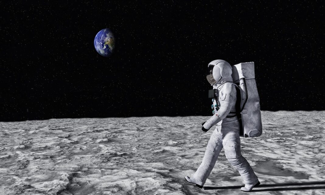
The Moon is close enough for direct missions and different enough to teach hard lessons. It keeps records of impacts, solar particles, and old volcanic activity, with little weather to erase them. NASA announced in February 2026 that it was updating the Artemis lunar program architecture as it works toward returning astronauts to the Moon and building an enduring presence there. The Moon is not a backup Earth; it is a nearby test site for geology, operations, life support, and long-duration exploration. (nasa.gov)
Exoplanets as Climate Mirrors
NASA’s exoplanet count page said more than 6,200 confirmed exoplanets had been found as of 2026, with many more candidates awaiting confirmation. That number gives scientists a larger sample of worlds with different sizes, stars, orbits, and atmospheres. Some are gas giants, some are rocky, and some are too hot, too cold, or too close to active stars. Together, they make Earth’s traits easier to place in context. (science.nasa.gov)
Earth as the Baseline Planet
The James Webb Space Telescope shows why Earth remains the main reference case. NASA explains that if Earth were seen as a faraway exoplanet, Webb-like observations could detect signs of water vapor, carbon dioxide, oxygen, methane, and other atmospheric molecules. Webb will not observe Earth directly, but Earth’s atmosphere is still the comparison point for reading distant planets. That is the useful loop in earth & space science: the search outward also makes the home planet easier to read. (science.nasa.gov)
FAQ
Q1: What Does Earth & Space Mean in Science News? A: It means the linked study of Earth systems and space environments, including satellites, weather, climate, space weather, planetary science, the Moon, and planets around other stars.
Q2: Why Are Satellites So Important for Earth Data? A: Satellites give repeated, wide-area measurements of clouds, oceans, land, ice, fires, storms, sea level, and air conditions. They help fill gaps that ground sensors cannot cover alone.
Q3: Can Space Weather Affect Daily Life? A: Yes. Strong solar activity can disturb radio signals, satellite operations, GPS accuracy, aviation routes, and power grids. Most effects are handled quietly by operators, but monitoring still matters.
Q4: Is Space Debris a Real Risk? A: Yes. ESA data shows tens of thousands of tracked objects and far more small debris pieces in orbit. Even small fragments can damage spacecraft when moving at orbital speed.
Q5: Why Do Exoplanets Matter to People on Earth? A: Exoplanets help scientists compare Earth with many other worlds. That comparison makes Earth’s atmosphere, oceans, climate balance, and habitability easier to study with better context.